

Name: Mount Yong Belar (Gunung Yong Belar)
Location: Blue Valley Dam, Cameron Highlands
Starting Coordinates: 4.61263N, 101.40432E
Tallest Point: 2183m (7156feet) above sea level
Difficulty: Advanced and technical, good stamina and endurance needed for the long hours of walking, technical skills needed for climbs and crawls
Time needed for completion: Day hike is possible but 2 days 1 night is more recommendable for a more relaxing hike (what’s the rush, seriously?)
Things to prepare:
1. 2L Hydration Bladder (there will be water points to refill)
2. Extra change of t-shirt and pants
3. Food
4. Raincoat
5. Durable hiking bag
6. Extra change of socks
7. Walking pole (optional)
8. Fleece Jacket/Windbreaker (it gets pretty windy and cold up there)
9. Headlamp
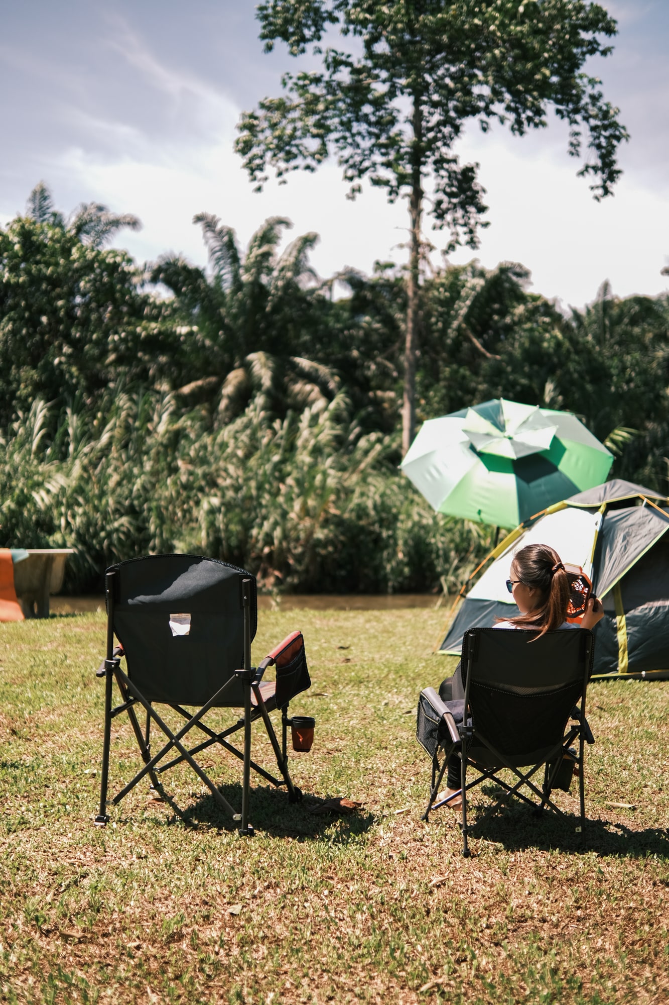
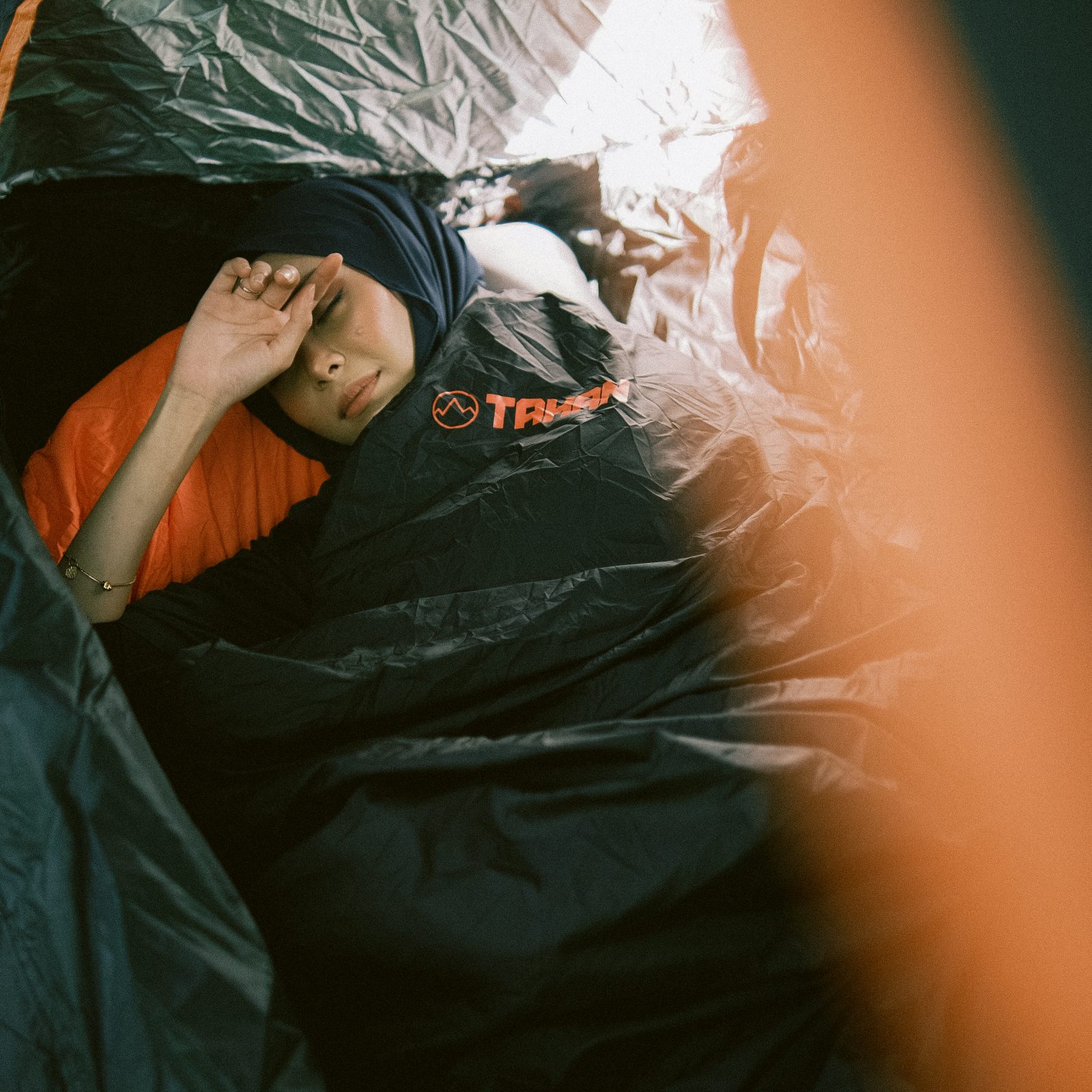
10. Camping equipment
Getting to the starting point to Mount Yong Belar:
- Parking at SMK Kampung Raja (Parking fee: RM10, guarded)
- Head out by 4WD to starting gate (30 minutes)

To be clear, we started and ended at a different spot due to some miscommunication with the landowner. Our starting point was at the entrance of a privately owned farm, which in simple terms is the easier route. It takes only 40 minutes to walk to reach the entrance of the forest, called “Pintu Rimba”. The walk is rather picturesque, with vegetables on your left mountains on your right.
From “Pintu Rimba”, it’s a one-way street into the forest with slight elevation and tonnes of roots to beware of. There are no huge river crossings at Mount Yong Belar (Gunung Yong Belar) trail, so yes, you can keep your shoes pretty dry if you are good enough. The trail is not extensively steep and is still very well kept in terms of trail condition. The first camp site, “Kem Tudung Periuk” is about 3 hours away from the Pintu Rimba point. It’s a large clear area which can easily fit 40 – 50 people.

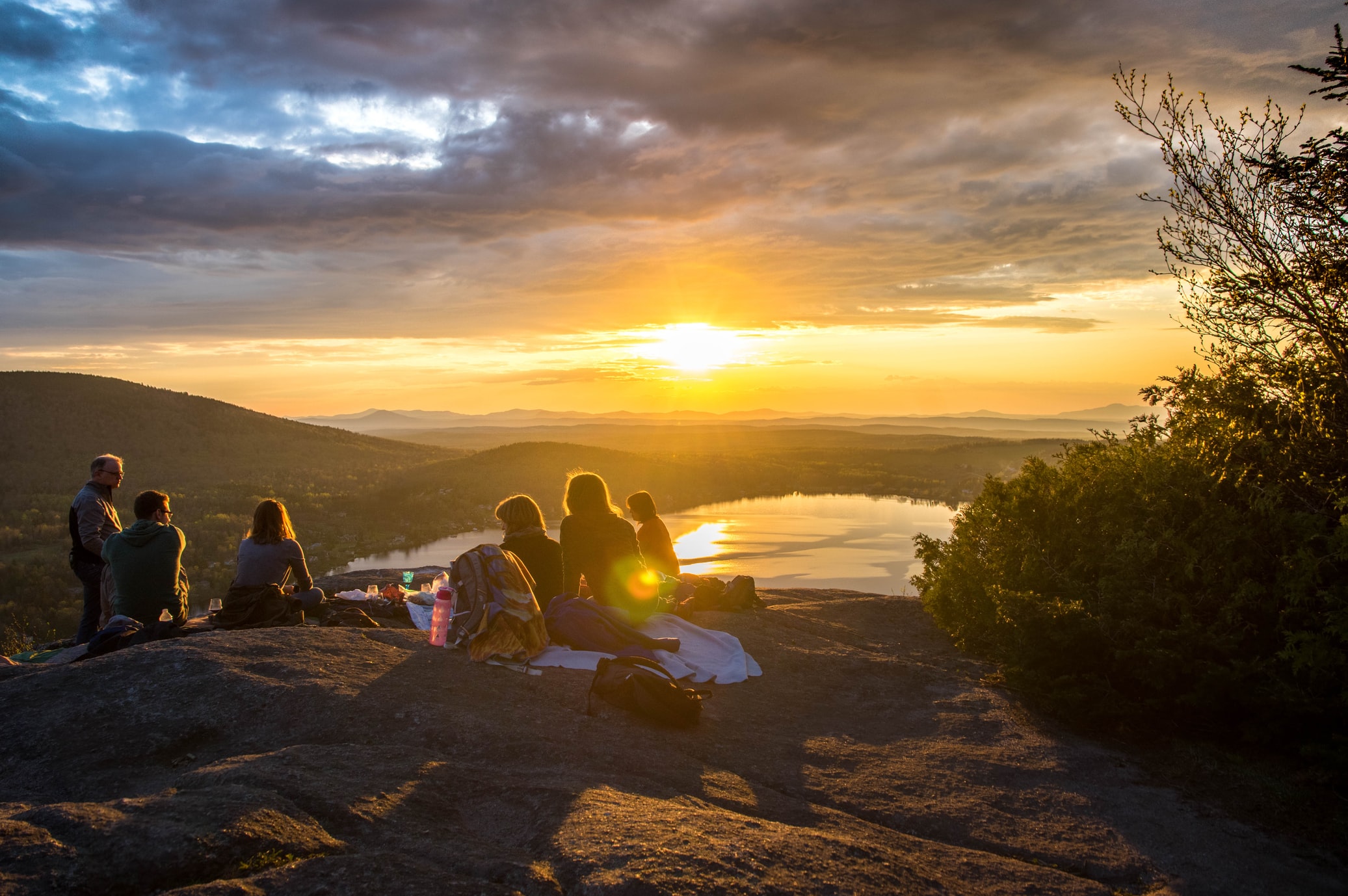
We stopped and took our lunch at Kem Tudung Periuk before moving on. There is a stream further down the trail so if you are planning to finish whatever water ration that you have left, by all means, because you can fill it back once you start moving. After Kem Kasut, the trail resumes an up and down gradient with a few false peaks. Take a break at the false peak and admire the beauty of the mountain ranges there. The Mount Yong Belar (Gunung Yong Belar) trail offers you a view unlike any other mountain in Malaysia. Don’t rush through things. There is plenty of time for you to set up your tent.
Kem Kasut, the second campsite along the trail is 3 hours away from Kem Tudung Periuk. Slightly smaller than Kem Tudung Periuk, this clearing can fit about 20 – 30 people. We had 27 people and it fits perfectly fine (we even had a team pitch up a fly as their kitchen, which produces an amazing smell might I add). By the time we reach Kem Kasut, it was about 4 pm. Being one hour away from the summit, we could shoot up to the peak on the same day of course but setting up the tent and calling it a day seems to be a wiser choice. Oh and yes, you can camp at the summit but it’s not really recommended because:
- Strong winds
- It’s pretty cold up there
- Thunderstrikes
- Lack of water source
So, if you want a comfortable camping experience, do it at Kem Kasut. So for our team, it’s Kem Kasut and we will be shooting for the peak the next morning (5:30 am).

The next morning, we took off with our headlights at 5:30 am and headed for the summit. The estimated time was 1 hour and we made it averagely within an hour. Unfortunately for us, the sun was blocked by thick clouds although our team waited for almost an hour up there in the strong wind and bone-chilling cold. Yes, it’s really cold up at the peak. Remember your gloves as well!

We made our way back to the campsite and reach by 8:30 am, more or less. The road down was way easier considering it’s already bright and you can see without your headlamps. Packed up, fueled and recharged, we made our way out of the forest, the same way we came in.
Exiting from the same way, it took us roughly 5 hours to reach Pintu Rimba where we entered but instead of getting picked up from our original starting point, we had to endure another 2 hours of trail because of some miscommunication with the landowner. Well, for cases like this, there is no point fighting. Whatever happens, keep walking and it will be over. We’re hikers and hikers don’t complain.
So the other trail that I mentioned here is the original entry trail of Mount Yong Belar (Gunung Yong Belar), called, the pipe trail, for obvious reasons, because it consists of pipes, a lot of pipes. It’s a very slippery trail, so watch your steps here. The trail is not very long but because you are taking small cautious steps here, it might take a bit of time (2 hours for our case). These pipes don’t interlock tightly, so when you step on one, it might move and slip away. Be careful here.

After an endless run of pipes, you will reach the final part of the trail, the stairs. Here’s a tip for the stairs. Walk sideways. It’s easier. The steps are pretty small therefore walking sideway gives you more balance and speed.
After the stairs, you will see something that you have been longing to see the whole day, your pickup vehicles! That’s the end of your trail. Rejoice, pat yourself on the back and take as many pictures as you want because this will be a memory to cherish!
=============================
So, if you are planning to hike Mount Yong Belar (Gunung Yong Belar), use this as a rough guide and prepare well. As you can see, the trail is not easy, that’s for sure but if you prepare well, it can be very enjoyable. Hope this serves you well. New hiker? Not sure what to bring along during hiking? Check out our quick guide on what you should bring here. Have any questions? Leave it in the comment section below and I will be more than glad to assist you if possible.
Want to know more new items available at PTT Outdoor? Click here.
If you like our content, join our PTT Outdoor Facebook Group, where we share a lot of good, valuable information for free: Malaysia Outdoor Community


Is it suitable for children 10~12?
Hi Mike, may I know which Forestry dept shd I apply permit from? As we know Pahang Forestry is closed from Nov 2019
For now you cannot go up but yes, Pahang is the correct one
Hi Mike,
I enjoyed reading all your hiking experiences. May i know if November month is ok to hike YB?
Heya Emily!
All good but make sure you get your permit first! 🙂
Regards,
Mike
Hi Mike, may I know which Forestry dept shd I apply permit from? As we know Pahang Forestry is closed from Nov 2019
Hello sir, my trip is at 17-18 mac. i will be travelling with a motorcycle, can i park at smk kampung raja or is there any other places??? Kindly waiting for your reply..
Thanks for your time.
Yeaps you can, just pay a parking fee to the guards. 🙂
– Mike
Hi Mike, can I have the details of the guide you used.
Hey, you can contact me at 0164221018. Drop me a whatsapp. 🙂
Regards,
Mike
From Kem Kasut how far is the water point? Is it before or after Kem Kasut?
About 10 minutes walk. Not that far off. 🙂
– Mike
Thank you for sharing. We plan to hike YB in April. Wish us luck!
Have fun!
– Mike
hi mike… I plen to hike yong belar this mac? may I get the guide’s contact please. Tq in advance
hi mike , how many water check point from kem tudung periuk to kem kasut ?
If I am not mistaken, none. Better fill up at Tudung Periuk. Then the next one would be at Kem Kasut.
– Mike
Hi. Looks like you do not have a guide. How do u find your way to the peak? Is the signs and markers?
Oh I do have a guide actually. It’s not safe to trek Yong Belar without a guide. Let me know if you need the guide’s contact. I can be contacted at 0164221018.
– Mike
Hi mike i plan hike to yb this weekend
Will u suggest me suitable bagpack.i mean litre?
Is it 40 or above?
Hey! Assuming that you are staying for a night, 40L will be good enough. I bought a 40L previously as well. One set of clothes to change, sleeping bag, fleece and food. Try not to bring too much. It’s camping anyway, not glamping. 😀
– Mike
Thanks mike for ur sharing
No problem bro. Be safe, have fun and don’t litter. That way, our forest will be forever clean.
– Mike
Hi..
Seronok baca ur experience at YB.
I plan nk hiking ke sana.
Perlu permit ke?
How to apply?
Tq in advance..
Ya, perlu permit dan perlu register dengan Jabatan Perhutanan Raub.
Nanti saya outlinekan dia punya step.
– Mike Chu
Hi Mike,
Could you pls share details to apply permit? Thank you.
Step 1: Download the application form at this link: http://forestry.pahang.gov.my/download/Muat-turun/Borang-Permohonan-Permit-Memasuk-HSK-Pahang.pdf, print and fill in the form accordingly
Step 2: Download the application letter at this link: https://www.dropbox.com/sh/82pgrr46ka2mn5v/AAAs82z08EmToERFHvMh1aE-a?dl=0 and edit the necessary information inside: Formal Letter / Surat Rasmi
Step 3: Head to the nearest post office and purchase your Wang Pos or your nearest bank to purchase your bank draft. Remember, the permit costs only RM5.
ATTN: Make sure the bank draft/wang pos is issued under the name PENGARAH PERHUTANAN NEGERI PAHANG
Step 4: By now, the documents that you should have would be the Application Form, Formal Letter and also your bank draft/wang pos. If that is correct, then the next step is to put everything in an envelope and courier it to the below address:
For Yong Belar, send to:
Pegawai Hutan Daerah
Pejabat Perhutanan Daerah Raub Dan Cameron Highland,
Rotan Tunggal, 27600 Raub, Pahang
Contact: 093551060
Then follow up after a week
– Mike
Appreciate it, Mike… 🙂
Don’t mention it!
– Mike
hi! can u share the gps log? thanks.
Sorry but I don’t have that unfortunately.
– Mike
ok. just nak tanya. masa lalu trek paip, across kebun? lintas sungai, lalu tebing sikit, and then sampai paip?
Betul. Tak jauh dari trek kebun. Pastu lepas paip, turun tangga, sampai gathering point.
– Mike
Thanks for sharing! Very informative indeed 🙂
No problem Shay. I hope you have a good time hiking Yong Belar and please remember to keep it clean!
– Mike
Hi Mike,
Nice sharing, thanks! Is it appropriate to wear rubber shoes for this hike?
Hi there! Rubber shoes should be no problem. The trails are very nice here so I wouldn’t worry too much. I did it with my booths though.
– Mike
Hi Mike,
Thanks for sharing.
I’m planning to do Yong Belar this weekend.
I was wondering if you could tell me how you arranged the 4×4.
Thanks.
Hey there!
I used Andy as the transporter. Here’s his Facebook: https://www.facebook.com/profile.php?id=100009280090426&fref=ts
Have fun and be safe!
– Mike