

“Don’t be afraid of new beginnings, from new people, new energy, new surroundings, new challenges. Embrace new chances at happiness.” – Jay Shetty
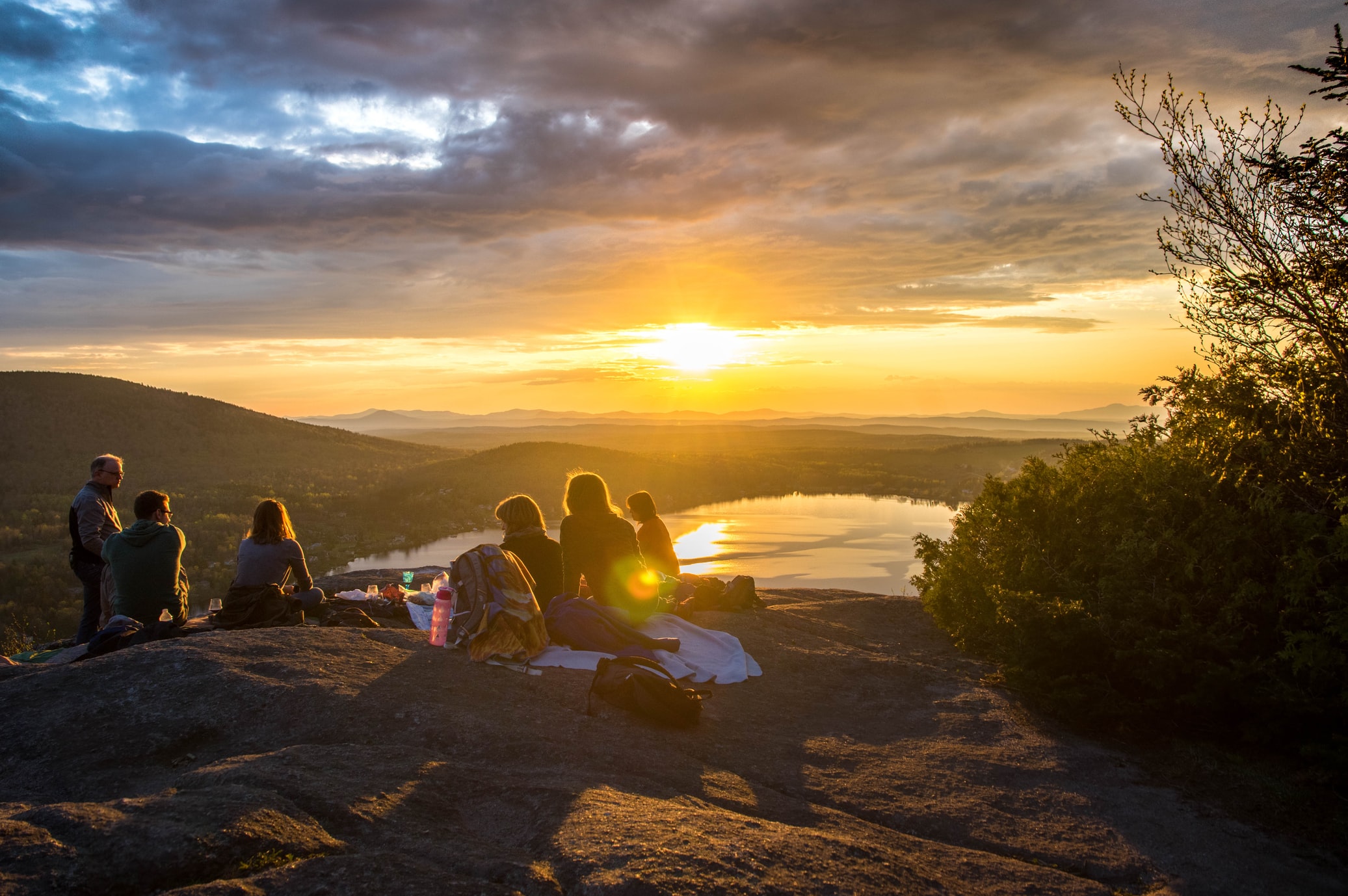
Hello fellow Outdoorians! Hope everyone is doing well, and after the first post in the ‘adventure time’ series, you are back for more! Our topic this time around, we will direct our attention to one of Cameron Highland’s sister mountains, Gunung Irau.
I find myself quite inspired by the quote above by Jay Shetty. He is right! In life, you have got to have new beginnings, meet new people, get into new environment most of the time. Our forte is suggesting to outdoor lovers, and even beginners, on where to go and why is it that you need to go there. There’s a lot you can discover with an open mind, when you try to explore something new, not only the beauty of nature, but also rediscovering yourself in the process too.
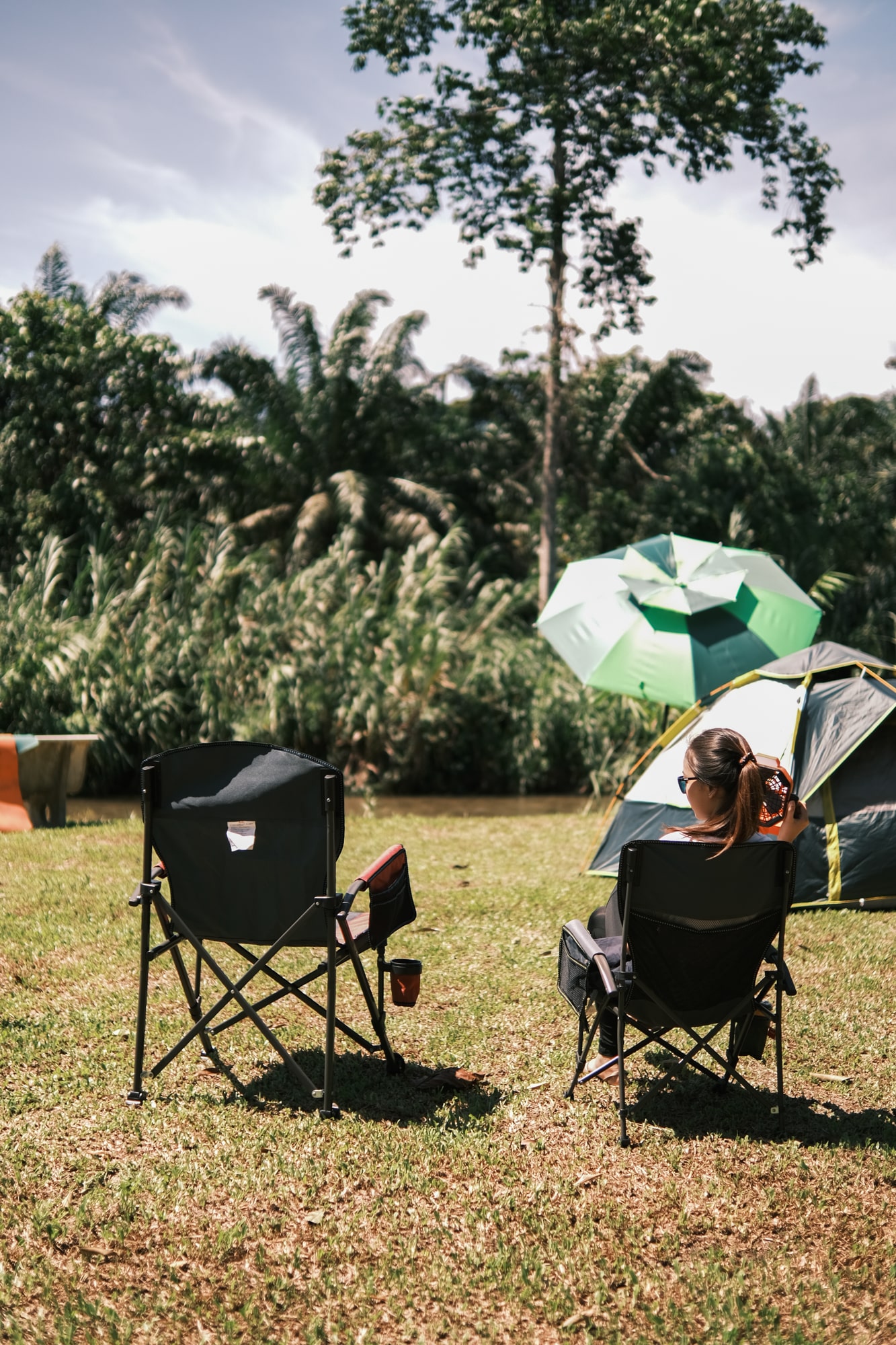
So? Go out, and go hiking at Gunung Irau, which is infamous for its mossy forest and how the thick lush flora surrounding the area is very nice, which I believe most of us has never saw before.
A little bit introduction regarding Gunung Irau. Getting to Gunung Irau hiking starting point is fairly easy. This hiking trip can also be done under a day. If you decided to get at the starting point early, you will find it fascinating and mesmerising that the mountain range is covered in thick fog if the weather is cold and nice enough.


Here are a few points that you should know about Gunung Irau before starting the hike.
– Difficulty – Moderate
Ranking the Difficulties is from Easy, Moderate, and Difficult. Many factors can affect the difficulty levels of a certain hiking trip. In the case of Gunung Irau, the terrain along the trail going to the peak is moderately difficult because most of the trail will be covered with thick and lush mossy plants covering your tracks. You will find it rather slippery if you are not properly geared for this hiking trip.
– Duration of Trek / Hike: 4-6 hours for the short route, 10-12 hours for the long trail
– Distance of Trek / Hike: About 3 km since the terrain goes uphill and downhill and it is pretty steep
– Total Height: 2,110 meters or 6,922 feet from sea level
– Peak of the Mountain Coordinates: 4°31’44.3″N 101°21’54.6″E (4.528966,101.365174) Peak Coordinates
– Number of Trails: 2
– Starting Point Coordinates
The following image shows the Gunung Irau Trail Map, showing a straightforward from two different points. The trail is two points from start to finish if a trekker decided to go through, and the objective is the peak of Gunung Irau, which is much closer to the ‘Mossy Forest’ Starting point. After which a trekker reach the peak, they may decide to hike the longest trail and can encounter many more interesting stone points and mini mountains along the path, or they can decide to go back to the ‘Mossy Forest’.

1. Shortest Trail Starting Point: 4°31’27.2″N 101°22’55.1″E (4.524228,101.381965) Short Trail Start Point Coordinates
The beginning of this trail is quite easy, along the trail at the first start you will climb onto wooden stairwell and well built gazebo for about 200 meters or so leading into the trail. Along the way, you will find the elevation is a bit challenging because you may have to climb uphill and go down, and repeat again along the trail.
Along the trail, midway is a point known as Mini Irau. It is not as tall as the peak itself, at only 2,031.8 meters which is 6,666 feet.
2. Long Trail Starting Point 4°35’35.2″N 101°21’16.2″E (4.593100,101.354500) Long Trail Start Point Coordinates


1